ON-DEMAND WEB DEMO
Introduction to iCD - 3D Sustainable Urban Design and Early Stage Masterplanning
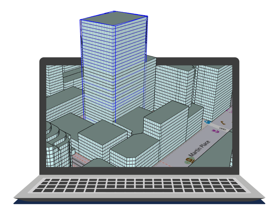
In this on-demand web demo, you will learn how our new tool for Architects and Urban Designers allows you to undertake sustainable masterplanning right from the earliest project stages, even when data is sparse or non-existent. Go beyond just zoning and massing and integrate building performance evaluation into your project across a wide range of energy, water and mobility metrics.
iCD, a plug-in to SketchUp, is scalable from a simple campus, to a wider community or city, and can be used to investigate either new or existing developments. This webinar will showcase the capability of IES’ iCD technology and will demonstrate the different sustainable outcomes that can be analysed, and project applications.
What will be covered?
- Importance of embedding performance evaluation early on in order to address the performance gap
- Alignment of iCD to a passive first approach for operational energy evaluation
- Site-wide and Building-level Operational Energy/Carbon
- Site-wide and Building-level Waste & Potable Water
- Community Scale Renewable Generation
- Local Amenity & Transport Connectivity for 20min Community Creation
- Accounting for EV chargers, street lighting, trees & terrain
- Impact of planned Net-Zero Strategies over time
- Modelling socio-economic relationships. For example, the impact of Sustainability outcomes on Fuel poverty and Property Values
What our customers are saying
Sharjah Humanitarian Campus
Limerick – A City Roadmap to Net Zero